Overview
Quadrant B18 – Western Visayas on the Murillo Velarde 1734 Map
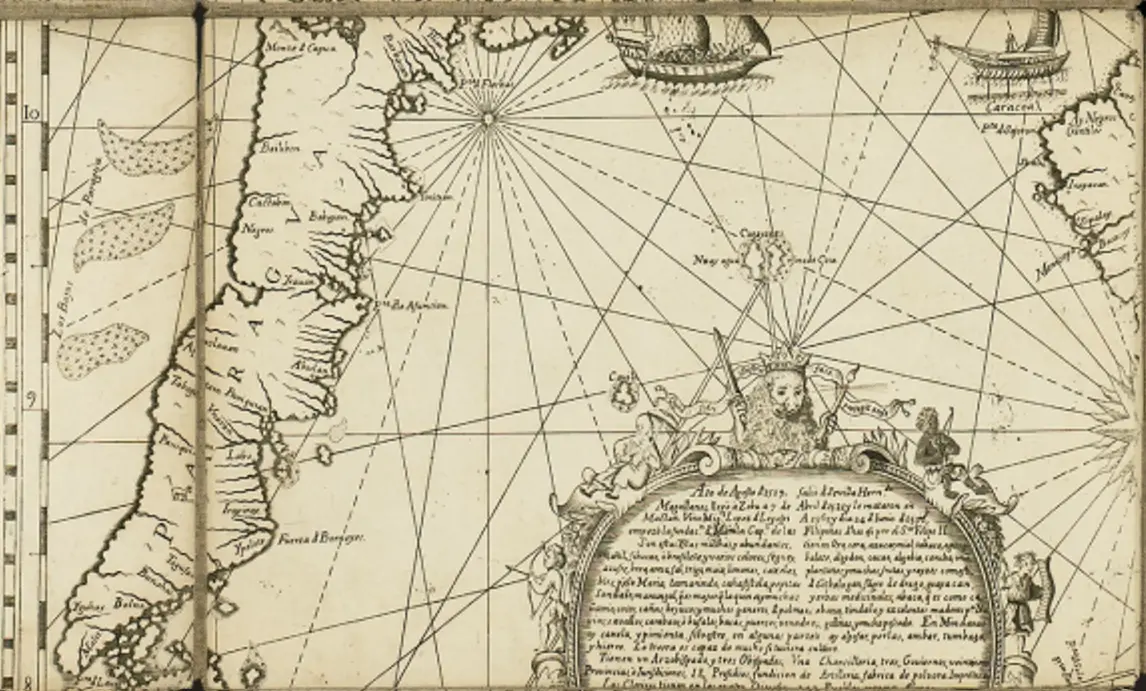
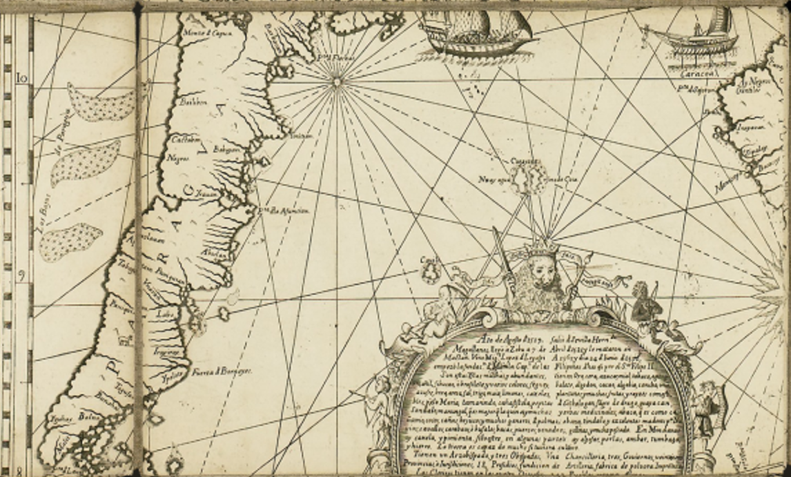
This section of the Murillo Velarde 1734 map showcases the Western Visayas region of the Philippines, an area rich in history, trade, and Spanish colonial influence.
Key Features in the Image:
-
Geographical Locations Identified:
-
The map marks various islands, coastlines, and settlements in the Western Visayas region, including Panay, Negros, and nearby islands.
-
Notable settlements such as Oton, Iloilo, and Bacolod (or their earlier names) may be depicted, representing key colonial and trade hubs during Spanish rule.
-
The islands west of Panay are possibly the Cuyo Archipelago or the Calamian Islands, which were important maritime routes during the Spanish era.
-
Nautical Elements:
-
The map features rhumb lines (compass directions used for navigation), indicating the maritime routes used by Spanish and local navigators.
-
Galleons and native vessels are illustrated, signifying the importance of the galleon trade and local barangay or balangay boats.
-
The coastal outlines suggest the Spanish cartographic knowledge of the region at the time.
-
Decorative Elements & Historical Text:
-
The ornate cartouche (decorative frame) at the bottom contains historical text, likely referencing Ferdinand Magellan’s 1521 expedition and the Spanish colonization of the Philippines.
-
A crowned figure holding a sword and scepter appears, possibly symbolizing Spanish rule over the islands.
-
Cherubs and decorative flourishes add a European artistic style common in 18th-century maps.
Historical Significance:
-
Western Visayas as a Trade Hub: The ports of Iloilo and other coastal towns were critical to the galleon trade and sugar industry, making them key Spanish economic centers.
-
Cartographic Importance: This map reflects early Spanish knowledge of Philippine geography, showing their efforts in mapping and controlling key trade routes.
-
Colonial Influence: The presence of European cartographic elements (such as the crown and text) highlights Spanish dominion over the region.
Sorry, no results matching your search criteria were found.
Locations
This is a primary location.