Quadrant C3 Northern Luzon Shoreline

Quadrant C3 Northern Luzon Shoreline

@quadrant-C3-northern-luzon-shoreline

Associated Sub Page

Murillo Velarde 1734 Map

Recently Viewed Pages

  • 0 Likes 0 Comments 20.3K Views 0 Favourites
  • 2 Likes 0 Comments 13.4K Views 1 Favourite
  • 0 Likes 0 Comments 5.9K Views 0 Favourites

Overview

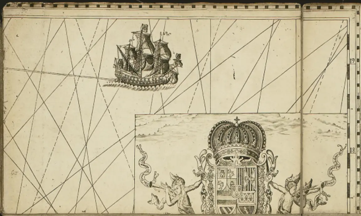
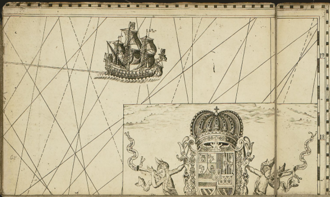
Here are key insights from this section of the map: Quadrant C3 of the Murillo Velarde 1734 map, which features the northern Luzon shoreline

1. Spanish Galleon Representation

  • The image prominently features a Spanish galleon, symbolizing the Manila-Acapulco Galleon Trade.

  • These ships were crucial in linking the Philippines with Mexico and Spain, transporting goods such as silk, porcelain, spices, and silver.

  • The presence of navigational rhumb lines (diagonal lines crossing the map) suggests the importance of maritime routes in this region.

2. Spanish Royal Coat of Arms

  • A section of the Spanish royal coat of arms appears, emphasizing Spanish colonial authority over the Philippines.

  • The crown and heraldic symbols reinforce Spain's claim over the archipelago and its importance within the empire.

3. Mythological or Allegorical Figures

  • The small cherub-like figure holding a banner may represent divine or royal authority, a common artistic motif in European maps of the period.

  • The snake-like creature could symbolize protection or threats to Spanish rule, possibly referring to indigenous resistance or foreign threats in the northern Luzon area.

4. Northern Luzon and Maritime Importance

  • The northern shoreline of Luzon was significant due to:

    • Trade connections with China and Japan.

    • Defense considerations, as foreign powers (Dutch, British, and Chinese pirates) were active in the area.

    • Coastal settlements that played key roles in regional trade and governance.
